| Principal |
| Description |
 |
 |
 |
 |
 |
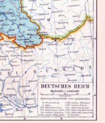 |
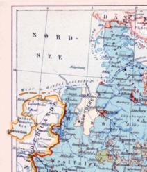
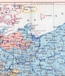
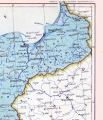
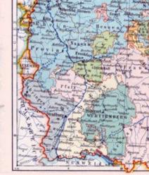
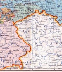
| Carte de l'Empire allemand en 1892, tirée de l'Atlas portatif Meyer. |
Map of the German Empire in 1892, from the Meyer Handy Atlas. |
| DEUTSCHES REICH, Meyer 1892: Empire allemand - German Empire | |||||||||||||||||||
|
|
||||||||||||||||||
|
|||||||||||||||||||