|
|
|
|
|
|
| Principal |
| Description |
|
|
click
 |
 |
 |
 |
 |
 |
 |
 |
 |
 |
 |
 |
 |
 |
 |
 |
 |
 |
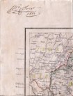
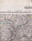
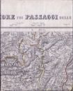
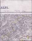
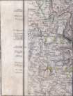
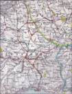
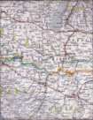
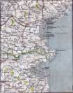
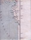
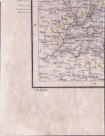
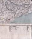
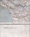
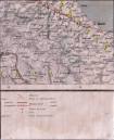
| Carte de l'Italie du Nord avec les cols alpins par J. M. Ziegler, Winterthur, vers 1854. |
Map of Northern Italy with Alpine passes by J. M. Ziegler, Winterthur, about 1854. |