

You can use this map for illustration or educational purposes if you mention the source:
"© Euratlas-Nussli 2008, www.euratlas.com".
For Euratlas-Info subscribers only.
| Enter e-mail address: |
|---|
|
Euratlas-Info Members' Area | |||
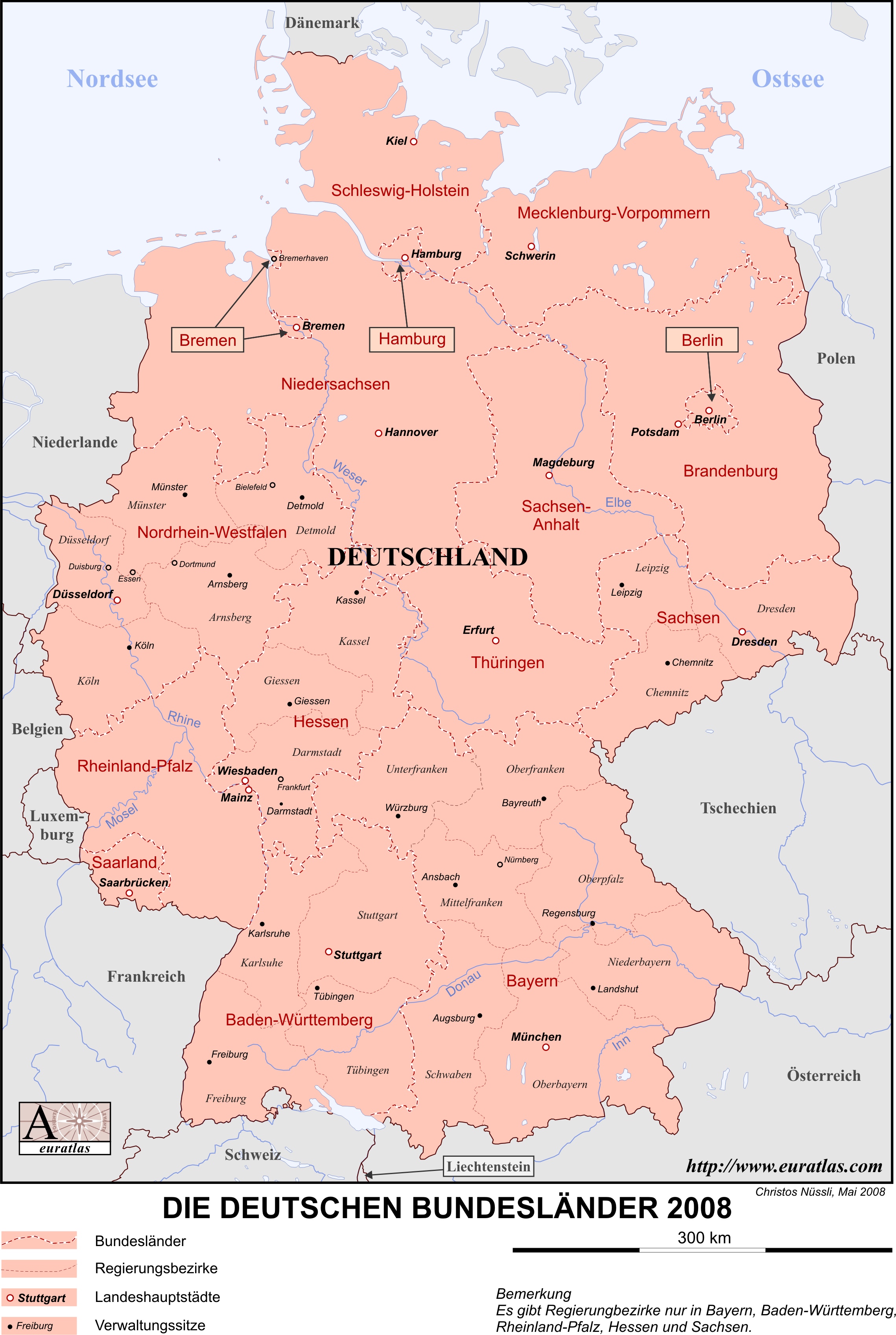
| The States of Germany 2008, in German Download in .jpg | ||||
|
| ||||
|
A color printable map of Germany with the boundaries and names of the Bundesländer and their capitals, in German. This map
is printable on A4 sheets and, in addition with the blank map of Germany, is adapted for
school tests. Size: 2270 x 3393 x 300 px or 28 x 19 cm. You can use this map for illustration or educational purposes if you mention the source: "© Euratlas-Nussli 2008, www.euratlas.com". For Euratlas-Info subscribers only.
| ||||