|
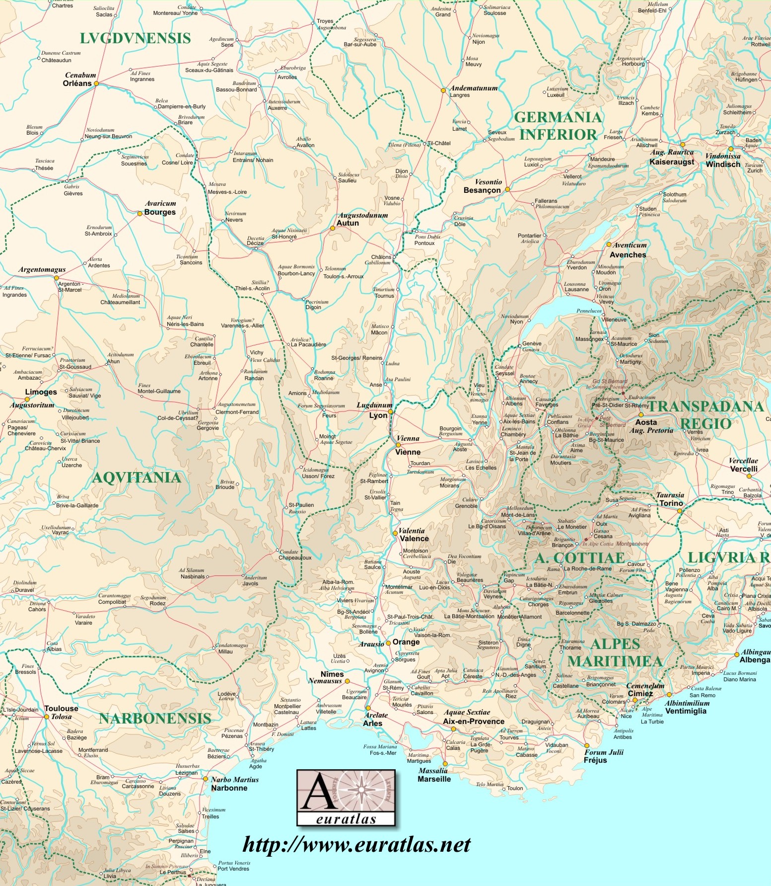
A
road map of the Roman provinces Gallia Narbonensis, Eastern Aquitania, Southern Lugdunensis,
Southern Germania Inferior, Alpes Cottiae, Alpes Maritimae and the
Western parts of the Regiones Transpadana and Liguria. about AD 100. The small Alpes Graiae et Poenninae province is also shown altought the exact date of its foundation is not known (about 150 AD).
The Latin names of the main localities are written in Times New Roman and the modern names of the same places are marked in Arial. The names of the provinces are green.
Image size: 1553 x 1783 pixels x 72 dpi.
For Euratlas-Info subscribers only.
|
|

