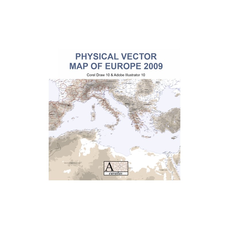

With a physical vector map of Europe, draw YOUR image of YOUR country
 Security policy
(edit with the Customer Reassurance module)
 Delivery policy
(edit with the Customer Reassurance module)
 Return policy
(edit with the Customer Reassurance module)
Description
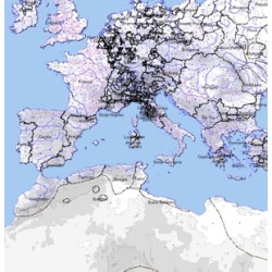
A vector map covering the Earth's surface from the degree 15 west to 50 east, and from degree 20 north to 60 north, i.e. Europe in a wide geographical sense.
This map contains the countries of Europe as they are in 2009. Note that only the Southern parts of Sweden and Norway are provided and that only a small strip of Finland appears.
See data description (PDF).
Requirements
Platform independent data, vector format. Corel Draw 10 or higher or Adobe Illustrator 10 or higher required.
Main Features
The map consists of 24 layers or planes. The layers surimposing order, names, fonts and colors can be changed according to User's choice.
1) to 5) mountains_200, mountains_500, mountains_1000, mountains_2000 and mountains_3500: 200, 500, 1000, 2000 and 3500 meter contour lines.
6) to 10) relief: red curves showing the mountain ranges + mountains_names: English names, in curve mode + rivers: nearly 3000 medium water courses + big_rivers: large rivers + names_rivers: English names of the main rivers, in text format.
11) & 12) countries: shapes of the countries of Europe 2009, without administrative divisions, long and short names available in CorelDraw ObjectData + dioceses: shapes of the 1st level administrative divisions (regions) in France, Spain, Belgium, United Kingdom, Italy and Greece, long and short names available in CorelDraw ObjectData.
16) to 22) seas: large seas and lakes + cities_dots_3: 2020 lesser cities, endonym names available + cities_dots_4: 386 cities, endonym names available + cities_dots_5: 258 major cities, endonym names available.
23) & 24) fuzzy_borders: undefined borders areas + coor_2: latitudes and longitudes with a precision of half a degree.
LAYERS NECESSARY FOR ADOBE ILLUSTRATOR ONLY:
13) dioceses_names: names of the first level administrative divisions (regions) in France, Spain, Belgium, United Kingdom, Italy.
14) countries_names_short: short forms of the countries names.
15) countries_names_short: short forms of the countries names + countries_names_long: long forms of the countries names and names of the special status territories.
17-cities_names_3: 2020 lesser cities endonym names.
21) cities_names_5: 258 major cities endonym names.
Review
For the production of our European River Cruise brochures we (the cruise operator) are looking for a detailed digital European River map. Browsing in the internet I got to your website. The Physical Vector Map of Europe looks really suitable. T. Benjamin
With a physical vector map of Europe, draw YOUR image of YOUR country