

"© Euratlas-Nussli 2007, www.euratlas.com".
For Euratlas-Info subscribers only.
| Enter e-mail address: |
|---|
|
Euratlas-Info Members' Area | |||
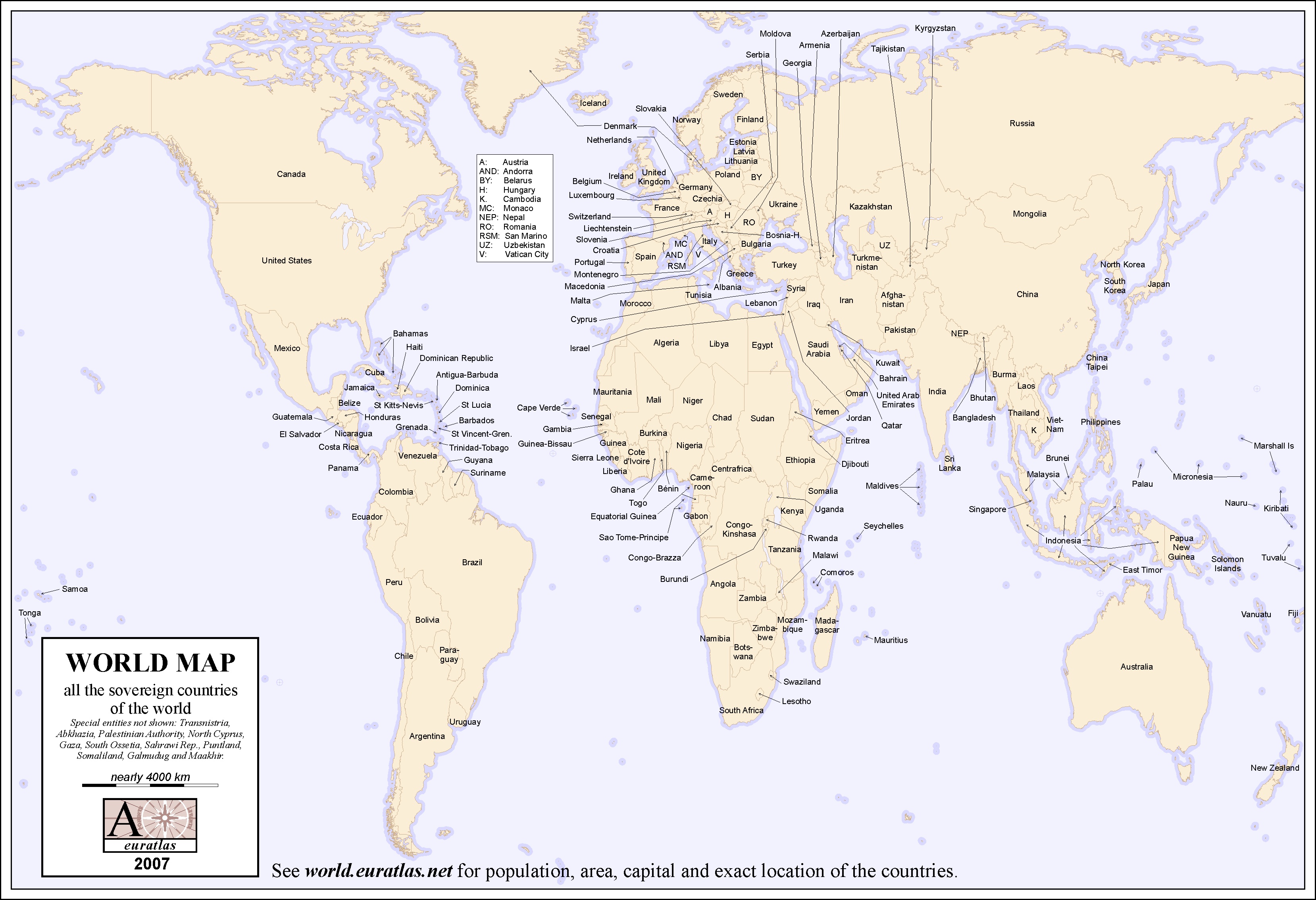
| A Map of the World in Color Labeled
Download in .jpg | ||||
|
| ||||
| A color world map with the names of all the sovereign countries. This map
is printable on A4 sheets and is adapted for
school tests. Size: 3317 x 2270 x 300 px or 28 x 19 cm. You
can use this file for illustration or educational purposes if you
mention the source: "© Euratlas-Nussli 2007, www.euratlas.com". For Euratlas-Info subscribers only.
| ||||