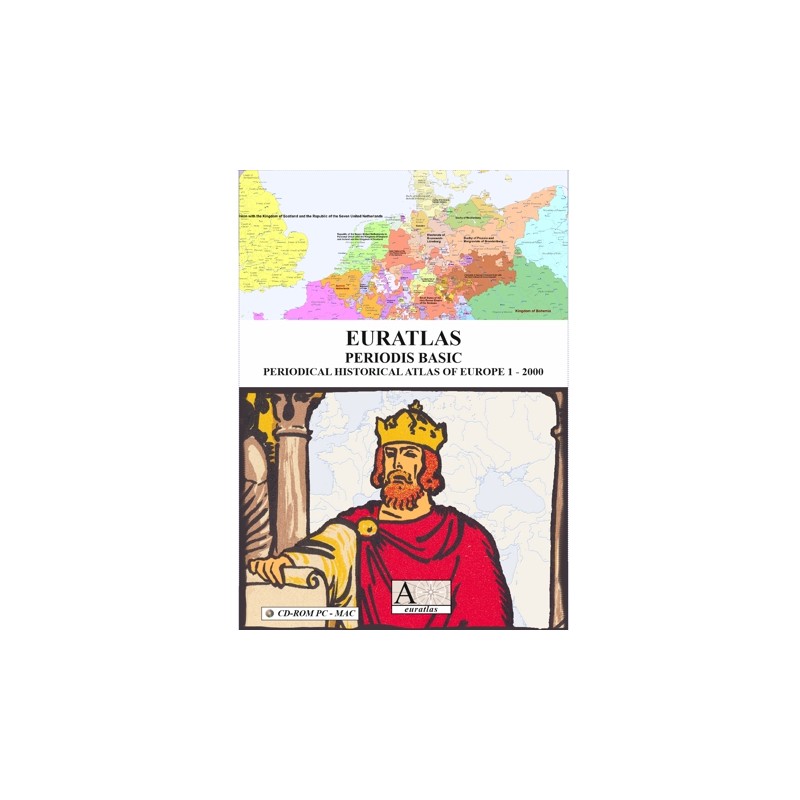

2000 years of European history, 1 detailed map per century
 Security policy
(edit with the Customer Reassurance module)
 Delivery policy
(edit with the Customer Reassurance module)
 Return policy
(edit with the Customer Reassurance module)
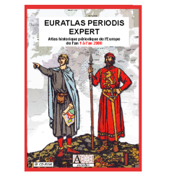
Description
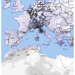
A historical atlas showing the European and Mediterranean countries at the end of each century, from year 1 to year 2000. This basic version is provided in vector format as a PDF document and can be consulted from hard disk with Adobe Reader under all operating systems.
Euratlas Periodis Basic is a valuable tool for teaching history because the spatio-temporal exploration possibilities will arouse the interest of every student.
Requirements
Platform independent.
Adobe Acrobat or Reader required.
Main Features
- 21 maps of Europe and the Mediterranean basin in vector format.
- 1 map per century from year 1 to year 2000.
- Political situation at the first day of each centennial year.
- 1600% maximal enlargement factor.
- 1600% maximal enlargement factor.
- Partial maps can be printed with Adobe Reader.
Review
Ease of use was quite remarkable. I experimented with the search function in locales that I knew very well from my research and also in locales that I was unfamiliar with and found both instances to be very helpful.
Amelie Bell
2000 years of European history, 1 detailed map per century