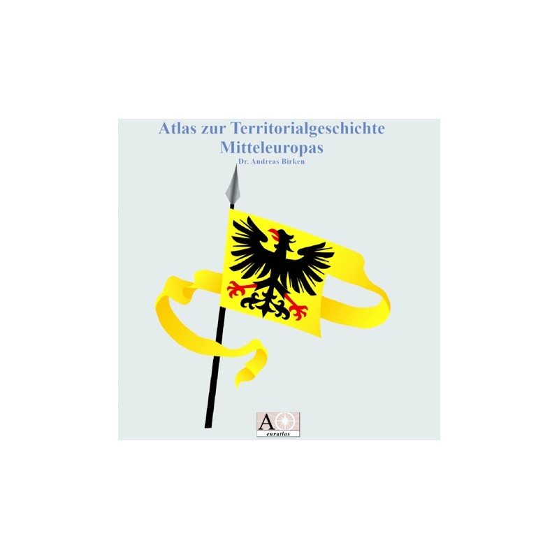

Mitteleuropatlas: Holy Roman Empire, Hungary and Poland
 Security policy
(edit with the Customer Reassurance module)
 Delivery policy
(edit with the Customer Reassurance module)
 Return policy
(edit with the Customer Reassurance module)
Description
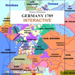
An interactive PDF atlas on the territorial history of Central Europe, in German, 500 screen pages. Representation of the territories in the area of the Holy Roman Empire, Hungary and Poland, and their successor states.
Requirements
Platform independent.
Adobe Acrobat Reader required.
Main Features
- A historical atlas covering the Central Europe area.
- More than 480 detailed historical maps.
- All the maps are presented in PDF format.
- Detailed maps for the years 1250, 1378, 1450, 1521 and 1648.
- Detailed maps for the years 1720, 1792, 1803, 1806, 1810, 1815 and 1871.
- Survey maps for the years 150, 600, 1000, 1921, 1942, 1945, 1970 and 2008.
- You can zoom the maps up to 1200 % and find names by using the search command.
- On each map page, blue arrows allow easy navigation through the atlas.
Review
These maps are offering a complete and highly detailed survey of all the kingdoms, principalities, duchies, counties, lordships and provinces that existed in what is now Germany, Belgium, Netherlands, Switzerland, East France, Czechia, Slovakia, Poland, Hungary, North Italy, Slovenia and Croatia.
Beatrice Long
Mitteleuropatlas: Holy Roman Empire, Hungary and Poland