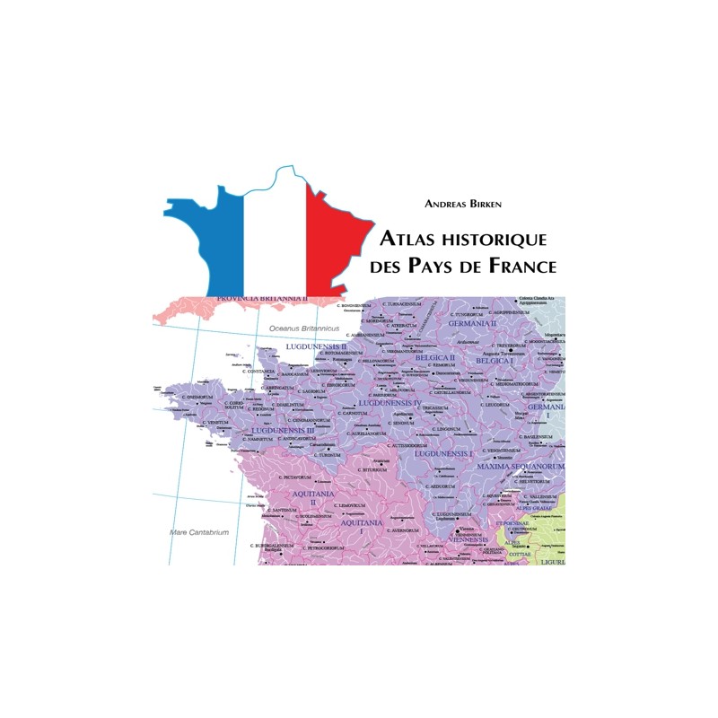

38 maps for the historical territories of France
 Security policy
(edit with the Customer Reassurance module)
 Delivery policy
(edit with the Customer Reassurance module)
 Return policy
(edit with the Customer Reassurance module)
Description
An interactive PDF atlas on the territorial history of France in 38 maps. Representation of the territories between the Pyraeneans and the Rhine.
Requirements
Platform independent.
Main Features
- A historical atlas covering the territories of modern France.
- 38 highly detailed historical maps.
- All the maps are presented in PDF format.
- Detailed maps for the years 987, 1066, 1154, 1223, 1270, 1314, 1360, 1429, 1475,
1500, 1598, 1648, 1659, 1668, 1678, 1697, 1715, 1789,
1790, 1812, 1815, 1860, 1900, 1920, 1940, 1950 and 2000.
- You can zoom the maps up to 1200 % and find names by using the search command.
38 maps for the historical territories of France