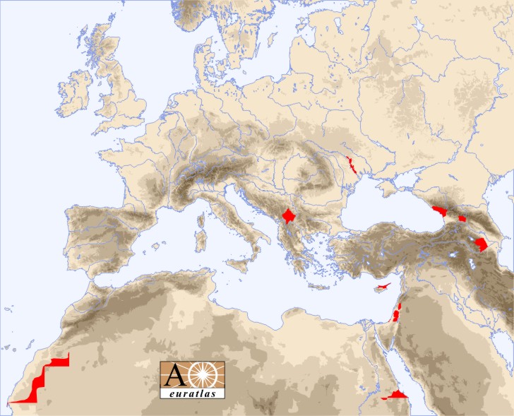
Internationally unrecognized or unclear status entities are listed here below. Click on a name to display the position of the territory with its nominal and actual status, its capital city, area, population number and average life expectancy at birth of the inhabitants.
For each territory a proportional green bar represents the area, a proportional red bar shows the populations number and a proportional blue bar shows the average life expectancy at birth of the inhabitants.
| Abkhazia | Hala'ib Triangle | Palestinian Authority |
| Bir Tawil | Kosovo | Sahrawi Republic |
| Gaza | Nagorno-Karabakh | South Ossetia |
| Golan Heights | Northern Cyprus | Transnistria |