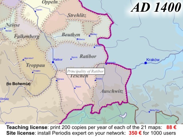
Map of the Rhine-Rhône Area at the beginning of the year 1400
This map series, in Latin, French, German and Italian, was created with Euratlas Periodis Expert and shows also the dependent states, that is Show dependencies mode. We have tried to keep the original official names of the sovereign States.