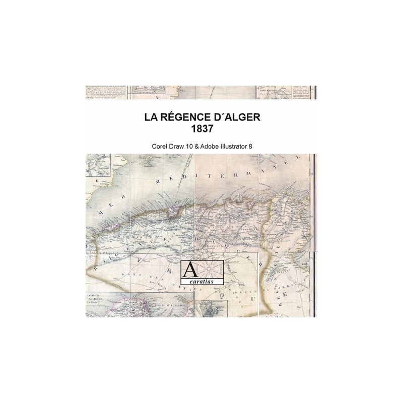


French Algeria and Arab Algeria in 1837
 Security policy
(edit with the Customer Reassurance module)
 Delivery policy
(edit with the Customer Reassurance module)
 Return policy
(edit with the Customer Reassurance module)
Description
This digital copy of an ancient map shows the Regency of Algiers or Algeria in 1837 during the war against Abd al-Qadir with the territories occupied by France and the territories under Arab rule.
Requirements
Platform independent data, .jpg format.
An image editing software is necessary, like Picasa, GIMP, Photoshop etc.
Main Features
- 1 scanned map of 12 sheets in .jpg format
- Size of each sheet ~1250 x ~2200 pixels x 300 dpi.
- Real size, same as the original: 42.50 cm x 56.00 cm.