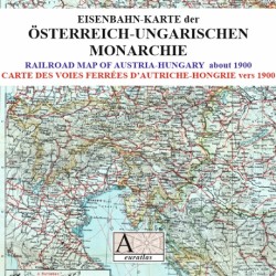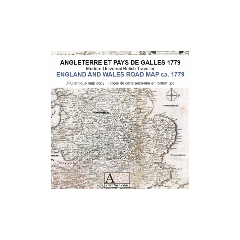

Post-roads of England and Wales in the 18th century
 Security policy
(edit with the Customer Reassurance module)
 Delivery policy
(edit with the Customer Reassurance module)
 Return policy
(edit with the Customer Reassurance module)
Description
Digital copy of an antique print from the 'Modern Universal British Traveller' showing the post-roads of England and Wales in the 18th century with distances in miles.
Original title cartouche: a new & most accurate map of the roads of England and Wales with the distances by the milestones, and other most exact admensurations between town and town.
Requirements
Platform independent data, JPG format.
An image editing software is necessary, like Picasa, GIMP, Photoshop etc.
Main Features
- 1 digital map of England and Wales in JPG and PNG format.
- Size of 8304 x 8224 pixels.
- Real size, same as the original: 35 cm x 35 cm.
Post-roads of England and Wales in the 18th century