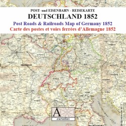

Thurn und Taxis was a key player in the postal services in Europe
 Security policy
(edit with the Customer Reassurance module)
 Delivery policy
(edit with the Customer Reassurance module)
 Return policy
(edit with the Customer Reassurance module)
Description
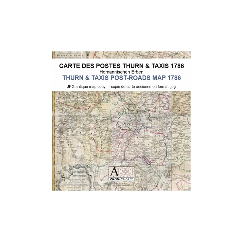
A digital copy of a 18th century map showing the post-roads in the Holy Roman Empire and in the neighbouring countries.
New and comprehensive Post-Roads map of whole Germany and adjacent parts of the neighbouring countries with accurate survey and corrections, with Imperial privilege, by the Homaennischen Erben, in Nuremberg 1786.
Requirements
Platform independent data, .jpg format.
An image editing software is necessary, like Picasa, GIMP, Photoshop etc.
Main Features
- 1 reduced size 1473 x 1200 pixels digital map of the Holy Roman Empire and neighbouring lands in JPG format.
- 16 images of ca 5600 x 4600 pixels: 16 original sheets in real size.
- Real size, same as the original: ca 96 cm x 80 cm.
Thurn und Taxis was a key player in the postal services in Europe