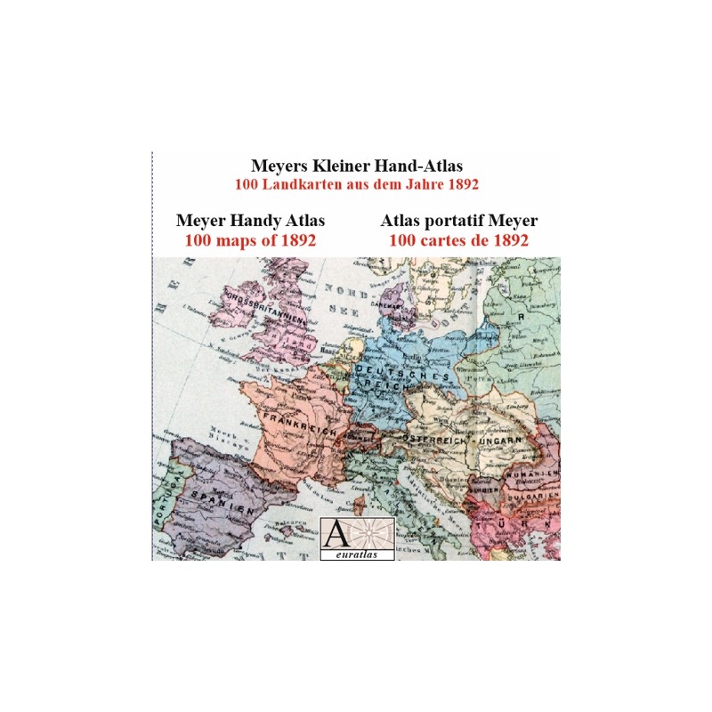

Handy Atlas 1892: 100 high-resolution maps of 1892
 Security policy
(edit with the Customer Reassurance module)
 Delivery policy
(edit with the Customer Reassurance module)
 Return policy
(edit with the Customer Reassurance module)
Description
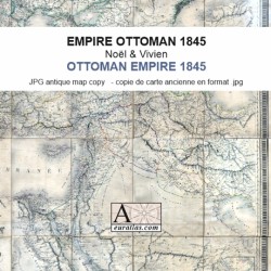
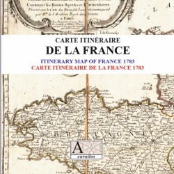
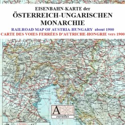
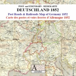
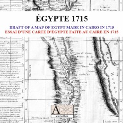
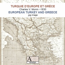
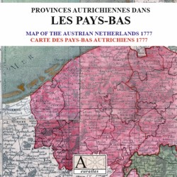
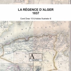
Set of 100 maps from a German atlas of 1892. These maps are depicting the full Earth surface but mostly the European countries.
The German states are very well presented and special maps are devoted to all their provinces.
Requirements
Platform independent data, .html format.
Web-browser required. Internet connection not necessary.
Main Features
- 100 Europe and World maps.
- Original maps printed in 1892.
- Political boundaries at the end of the 19th century.
- Each map has a size of nearly 2 600 x 3 400 pixels x 300 dpi.
Review
It's fun to run across a classic collection of 19th century maps. I think I'll find the old Prussian places I'm looking for Amelia F.
Handy Atlas 1892: 100 high-resolution maps of 1892