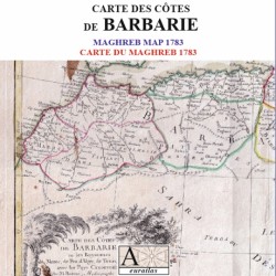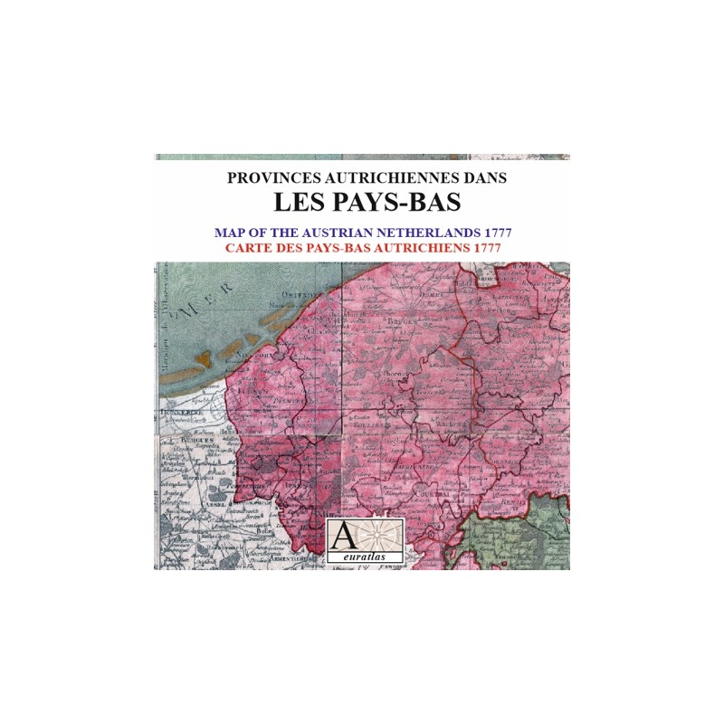

Austrian Netherlands: the first topographical map of the Belgian lands.
 Security policy
(edit with the Customer Reassurance module)
 Delivery policy
(edit with the Customer Reassurance module)
 Return policy
(edit with the Customer Reassurance module)
Description
This digital copy of an antique map shows the Austrian Netherlands or Austrian Provinces in the Netherlands as they were in the second half of the 18th century.
Such a document is useful to study the Ancien Régime borders of the Lands which were to become modern Belgium.
Requirements
Platform independent data, .jpg format.
An image editing software is necessary, like Picasa, GIMP, Photoshop etc.
Main Features
- 21 sheets scanned map of the Austrian Netherlands in .jpg format.
- Size of each sheet: ~1500 x ~2300 pixels x 300 dpi.
- Real size, same as the original: 58 cm x 90 cm.
- The End-User is entitled to print the document but the numerical carrier, that is the binary files, belongs exclusively to Euratlas-Nüssli.
- Therefore, no commercial use of the binary files is allowed unless an agreement with Euratlas-Nüssli is made.
Austrian Netherlands: the first topographical map of the Belgian lands.