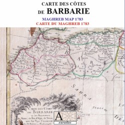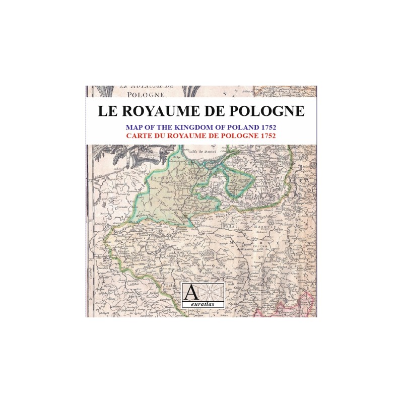

Poland 1752: twenty years before the First Partition of Poland
 Security policy
(edit with the Customer Reassurance module)
 Delivery policy
(edit with the Customer Reassurance module)
 Return policy
(edit with the Customer Reassurance module)
Description
A rare and detailed map of the Kingdom of Poland in the middle of the 18th century by Robert de Vaugondy.
The boundaries of the divisions and subdivisions of the Polish State are clearily shown as they were 20 years before the First Partition.
Requirements
Platform independent data, .jpg format.
An image editing software is necessary, like Picasa, GIMP, Photoshop etc.
Main Features
- 2 pairs of scanned maps of the Kingdom of Poland in .jpg format.
- Size of high-resolution maps 2 x 3199 x 5669 pixels x 300 dpi.
- Size of low-resolution maps 2 x 1024 x 1814 pixels x 96 dpi.
- Real size, same as the original: 48 cm x 54 cm.
Data sheet
Poland 1752: twenty years before the First Partition of Poland