
Switzerland 1836: Rodolphe Töpffer was using the same map for his trips
 Security policy
(edit with the Customer Reassurance module)
 Delivery policy
(edit with the Customer Reassurance module)
 Return policy
(edit with the Customer Reassurance module)
Description
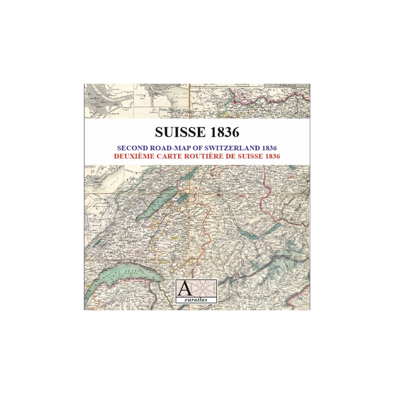
A map of the Swiss roads printed in 1836 by Heinrich Keller.
Many details are shown on the map like the height of the mountains or the population of the Cantons.
Requirements
Platform independent data, .jpg format.
An image editing software is necessary, like Picasa, GIMP, Photoshop etc.
Main Features
- 1 scanned map of 20 sheets in .jpg format.
- Size of each sheet: ~2250 x ~1240 pixels x 300 dpi.
- Real size, same as the original: 53.50 cm x 73.00 cm.
Switzerland 1836: Rodolphe Töpffer was using the same map for his trips