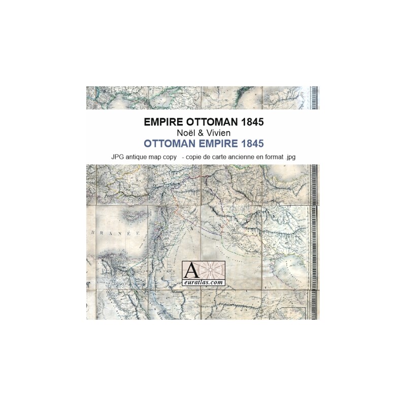

The Whole Ottoman Empire in 1845
 Security policy
(edit with the Customer Reassurance module)
 Delivery policy
(edit with the Customer Reassurance module)
 Return policy
(edit with the Customer Reassurance module)
Description
A digital copy of a 1845 French antique map showing the whole Ottoman Empire with its 1st and 2nd level administrative divisions and detailed place names.
Map of the Ottoman Empire, including the possessions of the High Porte in Europe, in Asia and in Africa, with the bordering parts of Arabia, Persia, Russia and of the Austrian Empire, drawn up by Noël and Vivien, geographers.
Requirements
Platform independent data, .jpg format.
An image editing software is necessary, like Picasa, GIMP, Photoshop etc.
Main Features
- 1 reduced size 2462 x 2368 pixels digital map of the Ottoman Empire in JPG format.
- 24 images of ca 2500 x 3400 pixels: 24 original sheets in real size.
- Real size, same as the original: ca 126 cm x 116 cm.
The Whole Ottoman Empire in 1845